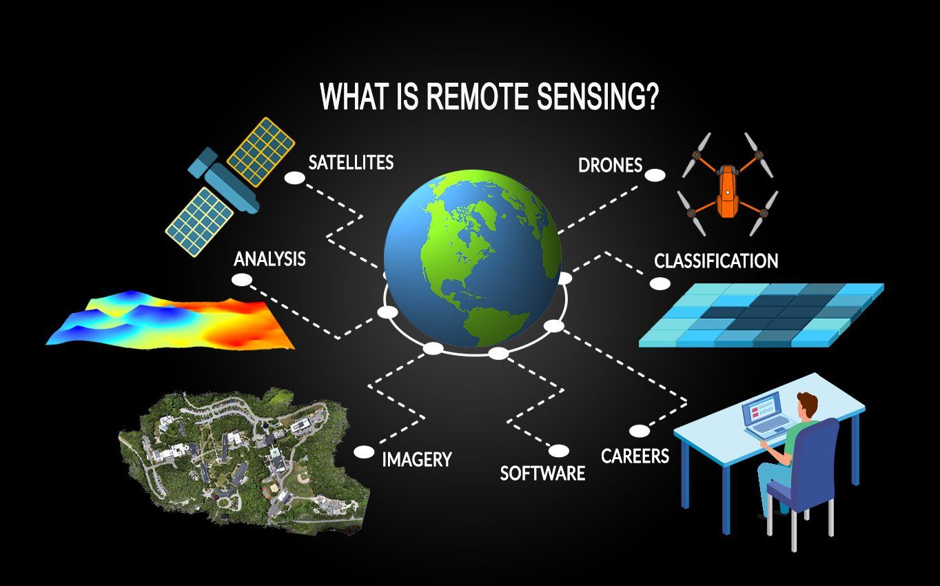
Remote Sensing: A Comprehensive Overview and Its Key Applications
Remote Sensing: A Comprehensive Overview

Introduction to Remote Sensing
Remote sensing is a powerful and widely used technology that allows for the collection of data and information about the Earth's surface without direct contact. This method relies on sensors to detect and measure electromagnetic radiation reflected or emitted from objects, surfaces, or areas. By using remote sensing, researchers can observe and monitor various features of the Earth, analyze environmental changes, and make informed decisions in multiple fields such as agriculture, meteorology, geology, oceanography, and disaster management.
In its broadest sense, remote sensing refers to the practice of acquiring information from a distance, using satellites, aircraft, or ground-based sensors. The technology has evolved significantly over time, particularly with the advent of satellite imagery, providing new capabilities for observing large areas over short periods.
Principles of Remote Sensing
Remote sensing is based on the principle of measuring electromagnetic radiation. Every object on Earth absorbs, reflects, and emits electromagnetic energy in different ways, depending on its material properties, temperature, and condition. Remote sensing systems detect these interactions to gather information.
Key Principles:
- Electromagnetic Radiation (EMR): Electromagnetic radiation is energy that travels through space in the form of waves. It ranges from very short wavelengths (gamma rays) to very long wavelengths (radio waves). Visible light, infrared, and microwaves are key parts of the spectrum used in remote sensing. Most remote sensing applications measure energy in the visible, infrared, and microwave portions of the spectrum.
- Interactions with the Earth's Surface: When EMR reaches the Earth's surface, it interacts with objects through absorption, reflection, and transmission. Different materials (water, soil, vegetation, buildings) reflect and absorb electromagnetic energy in unique ways. These differences, or spectral signatures, allow remote sensors to distinguish between various types of surfaces.
-
Sensors and Platforms: Remote sensing systems consist of sensors mounted on platforms such as satellites, aircraft, or drones. Sensors can be classified into two categories:
- Passive Sensors: These rely on natural energy sources like the sun. They detect radiation reflected or emitted from the Earth's surface. Examples include optical cameras and infrared sensors.
- Active Sensors: These systems emit their energy (e.g., radar, LiDAR) and measure the response from the Earth's surface.
Types of Remote Sensing
Remote sensing is typically divided into two types: passive and active, each with different methods and uses.
1. Passive Remote Sensing
Passive remote sensing systems detect natural radiation that is either reflected by the sun or emitted by the Earth. The most common source of natural radiation in passive sensing is the sun, which emits energy across the visible, infrared, and ultraviolet portions of the electromagnetic spectrum.
Examples of Passive Sensors: Optical Sensors, Infrared Sensors, Multispectral, and Hyperspectral Sensors.
2. Active Remote Sensing
Active remote sensing involves emitting energy (typically in the microwave or radar range) towards the Earth's surface and measuring the backscatter or return signal. This method is particularly useful in environments where natural light is unavailable (e.g., nighttime, dense cloud cover).
Examples of Active Sensors: Radar (Radio Detection and Ranging), LiDAR (Light Detection and Ranging).
Applications of Remote Sensing
Remote sensing plays a crucial role in a variety of fields, offering insights and solutions to some of the most pressing environmental, agricultural, and societal challenges. Below are several key applications of remote sensing technology:
1. Environmental Monitoring
Remote sensing is instrumental in monitoring environmental changes, including deforestation, desertification, and the health of ecosystems. Satellite images can provide long-term data on the state of forests, wetlands, and oceans, allowing scientists to assess the impacts of human activities and natural disasters.
Deforestation Monitoring, Water Resource Management, Climate Change Monitoring.
2. Agriculture
In agriculture, remote sensing enables farmers and researchers to monitor crop health, estimate yields, and optimize resource use. Multispectral and hyperspectral sensors provide detailed insights into crop conditions by analyzing plant reflectance in different spectral bands.
Precision Farming, Crop Health Monitoring, Yield Estimation.
3. Disaster Management
Remote sensing plays a crucial role in disaster management by providing real-time information for disaster preparedness, response, and recovery. Satellite imagery and radar data are essential for monitoring and predicting natural disasters such as floods, earthquakes, hurricanes, and wildfires.
Flood Monitoring, Earthquake Assessment, Wildfire Detection.
4. Urban Planning and Development
Remote sensing provides valuable data for urban planning and land-use management. High-resolution satellite images help city planners assess land cover changes, monitor urban sprawl, and plan infrastructure development.
Urban Expansion Monitoring, Infrastructure Planning, Sustainable Development.
5. Climate and Weather Forecasting
Remote sensing is vital for observing atmospheric conditions and predicting weather patterns. Satellites like NOAA’s GOES and polar-orbiting satellites monitor cloud cover, temperature, and atmospheric moisture, providing accurate weather forecasts.
Climate Models, Hurricane and Storm Tracking.
6. Geology and Mineral Exploration
Remote sensing is widely used in geology for mapping the Earth's surface, studying rock formations, and detecting mineral deposits. It helps identify geological features such as faults, folds, and volcanic activity.
Mineral Exploration, Geological Mapping.
Challenges in Remote Sensing
While remote sensing offers a wide range of benefits, it also faces several challenges:
- Data Interpretation: Analyzing remote sensing data requires expertise, as various factors (e.g., cloud cover, atmospheric conditions) can influence the accuracy of the data.
- Resolution Limitations: The resolution of satellite imagery may not always be sufficient for detailed analysis, especially for small-scale features or objects.
- Cost: High-resolution satellite imagery and advanced sensors can be expensive, limiting access for some regions and organizations.
Conclusion
Remote sensing is an invaluable tool for observing and analyzing the Earth's surface, offering applications in environmental monitoring, agriculture, disaster management, urban planning, and more. By providing large-scale and real-time data, it enables better decision-making for sustainable development and resource management. Despite its challenges, advancements in remote sensing technology continue to enhance its capabilities, making it an essential part of modern science and planning.

Comments
Post a Comment